

Adventurer/s:
Dates of Trip:
The first time I set foot in the US was last summer, when I embarked upon my freshman year at MIT. So everything on this continent is new and exciting; I’m still waiting to see my first racoon! During this year I’ve taken every opportunity I can to explore nearby areas: I’ve been on long bus rides to Maine and New York, and dipped a toe into Rhode Island. Still, my favourite part of freshman year has of course been becoming intimately familiar with the White Mountains of New Hampshire, via MITOC.
However, the West Coast remained a tantalising mystery. As if I wasn’t envious enough of the fact that my roommate was interning in Seattle over the summer, she had to rub my face in it with “there’s really nice hiking in the area as well, you would really enjoy it!” Spending some peaceful time in the mountains of Washington while experiencing one of the most famous cities in the US sounded like the perfect way to rejuvenate myself before the stress of sophomore year began…and I’m extremely grateful for the opportunity to make this a reality with the help of a MITOC Sean Collier Adventure Grant.
I arrived in Seattle on Saturday August 4th, after a stressful night thinking my plane had been cancelled and I could only arrive on Sunday evening. Long story short, turning up to the airport and begging them to put you on the next plane works wonders. It was important to arrive before Sunday for the following reasons:
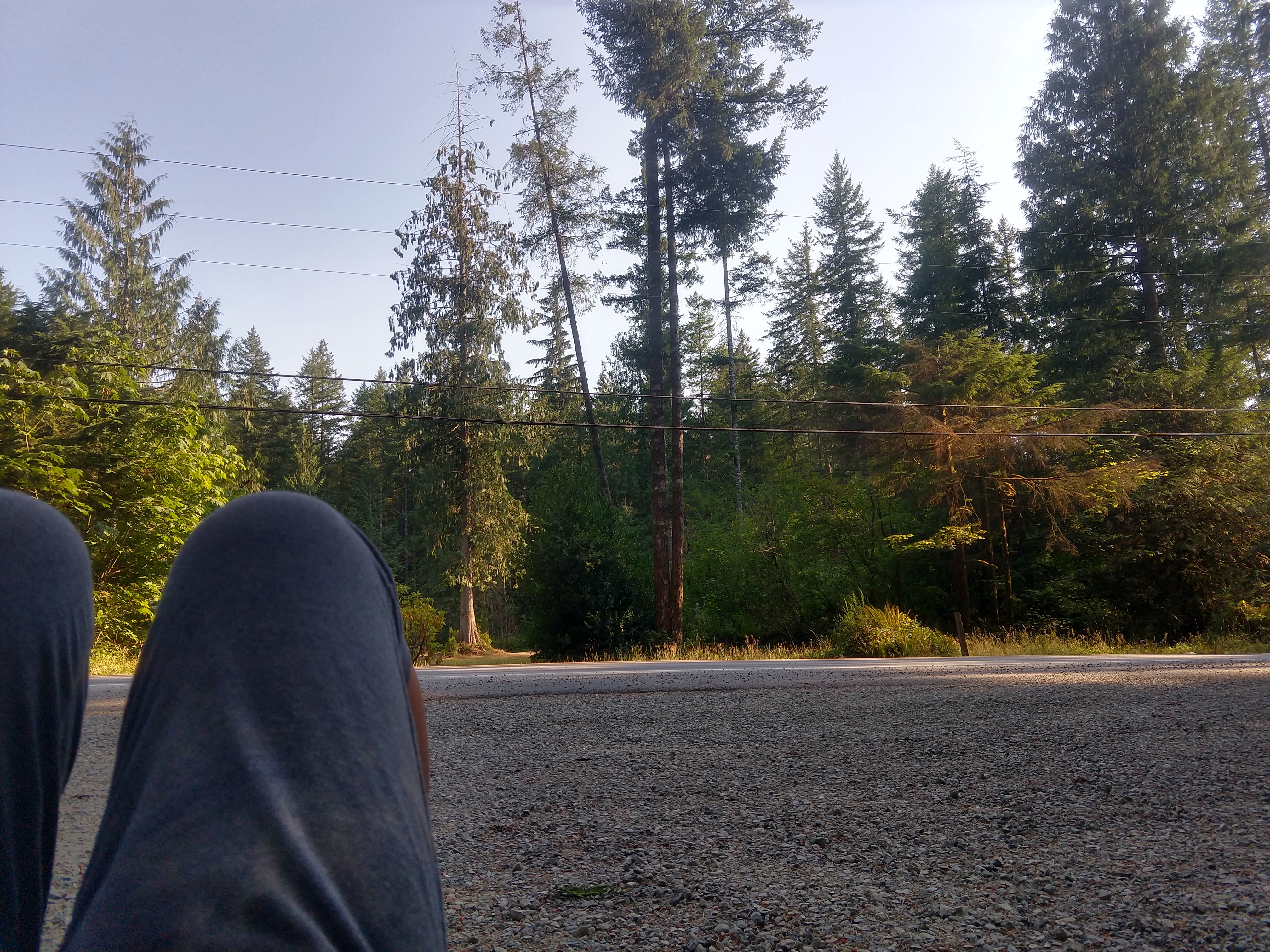
- I can’t drive, so I was restricted to mountains that I could only get to by public transport from Seattle. Fortunately, there is a new Trailhead Direct service in Seattle – buses that take you to either Mount Si, Mailbox Peak, or the Issaquah Alps. However, they only run during the weekends!
- My roommate, Ivana, had begrudgingly agreed to let me drag her along on a hike, but she was working throughout the week, so it was weekend or nothing.
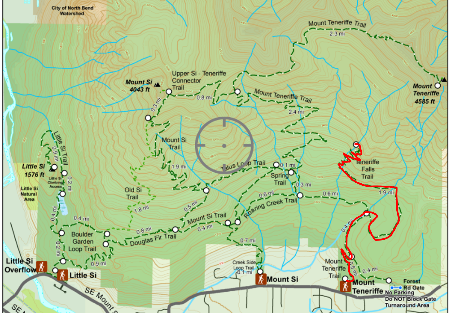
After some contemplation, I had decided upon Teneriffe Falls as our Sunday destination. This was my only chance to visit Mt Si/Mt Teneriffe, but summiting either of them would probably kill all of Ivana’s motivation to ever step outside again. Therefore this 5.4 mile round trip with the promise of a beautiful scenic waterfall to eat our lunch by seemed like a good middle ground.
As I was scouting out our route on Saturday evening I stumbled across something beautiful – an Avenza map of the Mt Si area. After downloading the free app and map, the app shows you the exact location of where you are on the mountain, regardless of whether you have phone service. This location tracking meant most of my trips for the week were stress-free!
Day 1 – Mt Teneriffe:
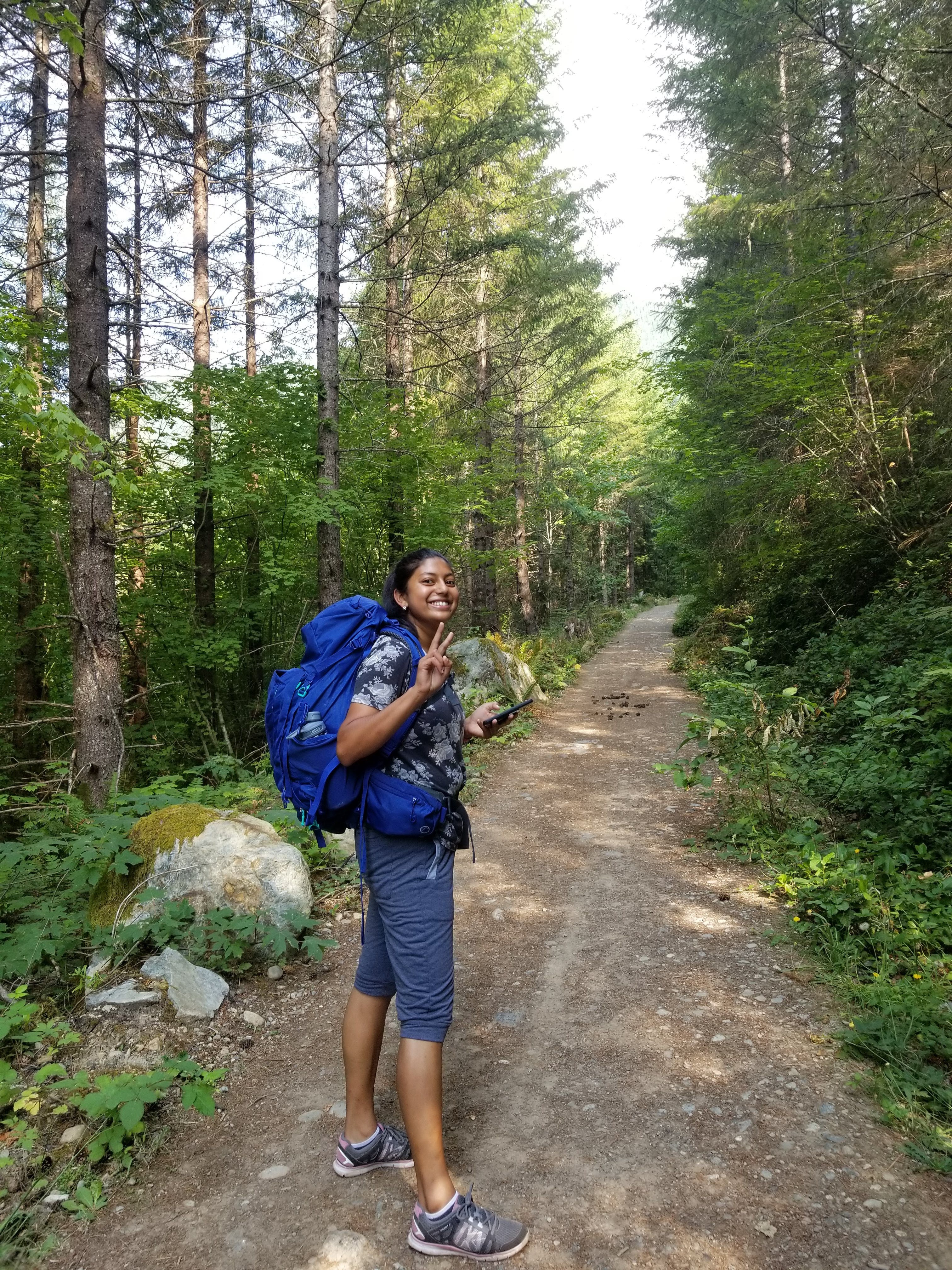
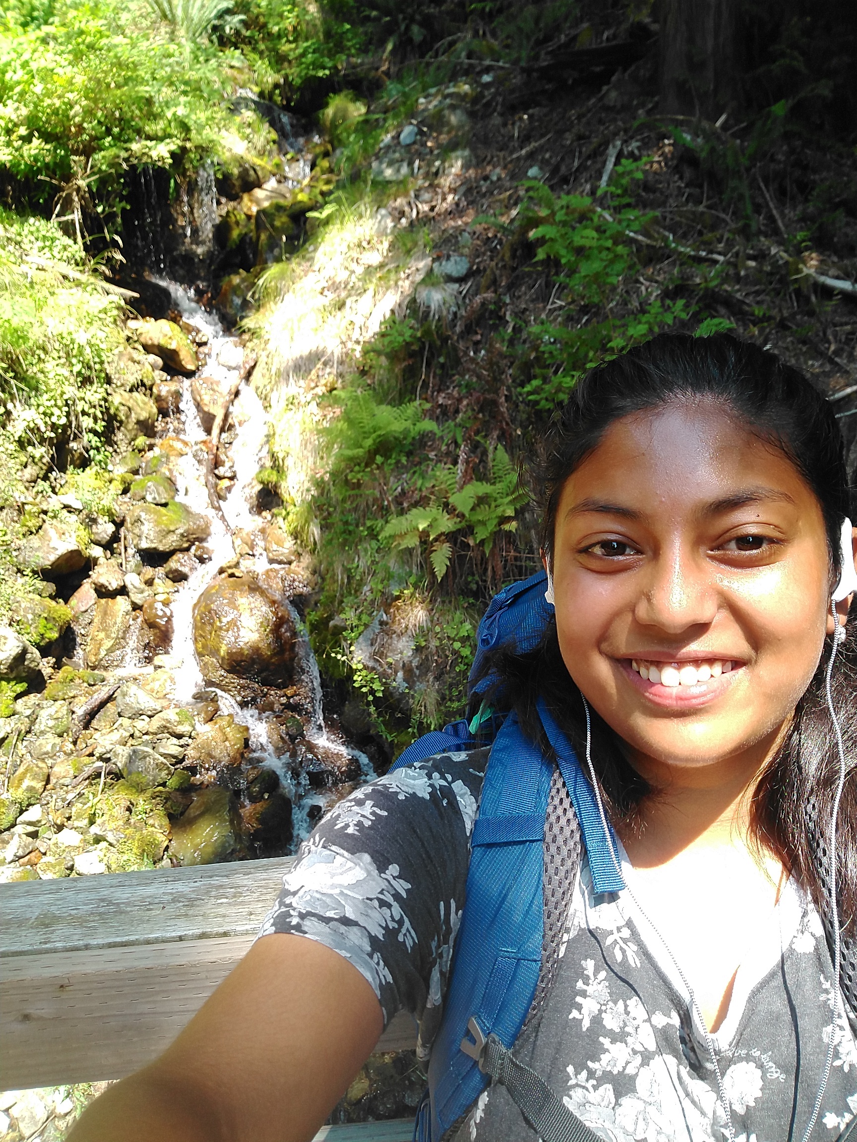
On Sunday I dragged Ivana out of bed at 7am (I know, we slept in by MITOC standards...), and got on the 8:42am Trailhead Express to Mt Si, from Pine St and 9th Ave. We arrived at the Mt Teneriffe Trailhead at around 9:30am. With a turnaround time of 1pm, we set off! In an effort to make the journey as easy as possible for her and slow myself down, I carried all her snacks and water as well as my own gear in one of those really big rucksacks (I don’t know their technical name). After initially scoffing at my assumption that carrying her water bottle would slow her down, Ivana had to admit that this actually worked out really well. I was proud of myself for thinking to bring along plenty of snacks to bribe her along some of the areas of loose rock where she started to lose her motivation, and we made it to the top just before 11am.
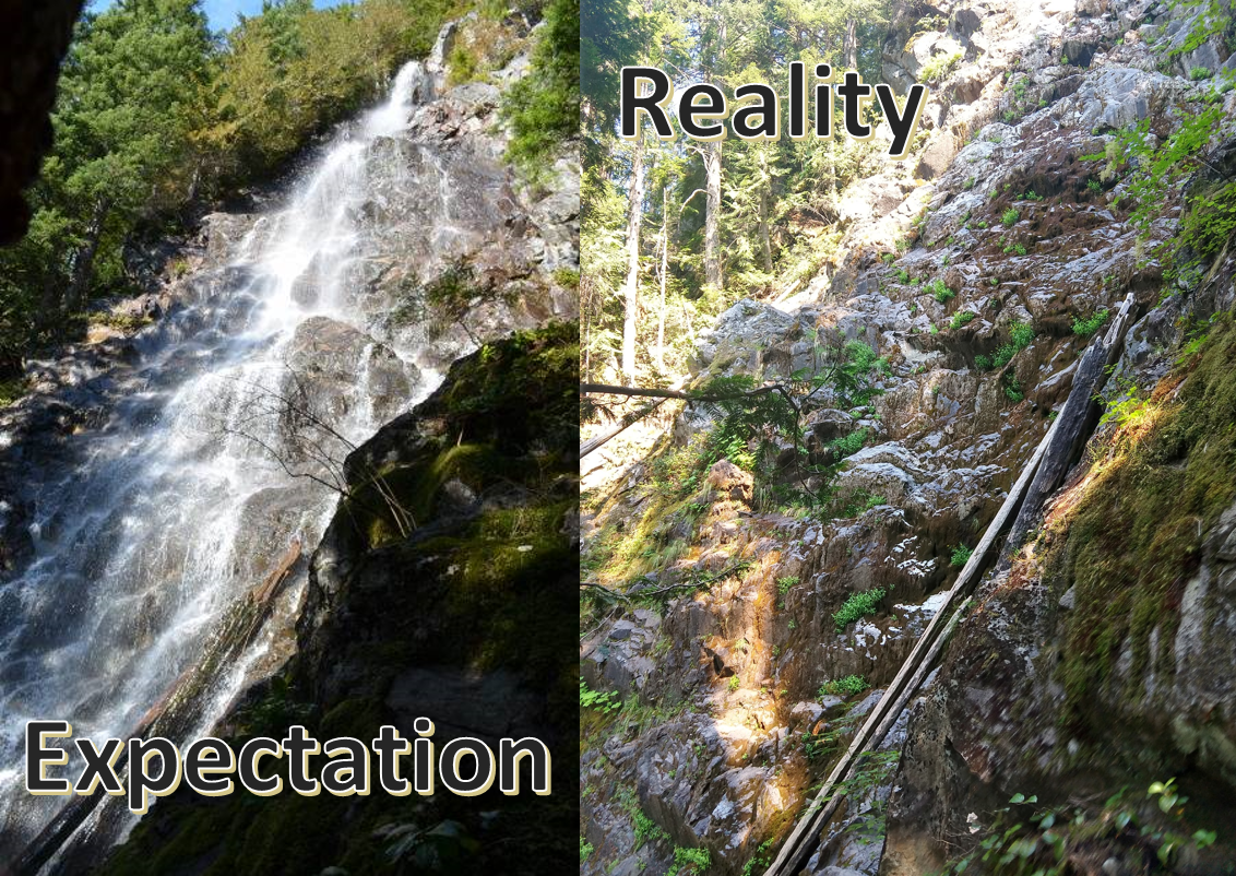
Unfortunately, I should have done some better research. As we got closer to the end of the route, my heart started sinking lower and lower when I realised what was missing: the whoosh of running water. So apparently, waterfalls such as this one dry up by mid-summer…how was I supposed to know that?? None of the blogs talking about the beauty of the waterfall thought to highlight this important fact? In hindsight, the information was available if I had thought to look.
Regardless of this crushing disappointment, Ivana did say she enjoyed the trip overall as we made our way back down. We reached the junction turning onto the Roaring Creeks trail at around 12:30pm, at which point I decided I still wanted to put into motion my own back-up plan – a summit attempt.
Secretly while planning out this trip, I had various plans for extending it depending on how we were both feeling and where we were at certain times. In my heart of hearts, I had a very ambitious goal: after the Teneriffe fall loop, embark upon a Teneriffe Summit, then hit the Mt Si summit before ending at the Mt Si trailhead to get back on the Trailhead Direct.
At the junction at 12:30pm, Ivana gave me her permission to abandon her (don’t worry, it was a very easy flat mile back on the route we had just taken to get back to the bus stop), and so I continued on the Roaring Creek trail and up the Mount Teneriffe Trail. New plan: if I made it to the Upper Si – Teneriffe Connector Trail by 2pm, I could continue on to summit Teneriffe. Otherwise, Mt Si would be good enough I suppose…
Funnily enough, 10 minutes after we parted I came across running water and a mini waterfall. Sucks to suck.
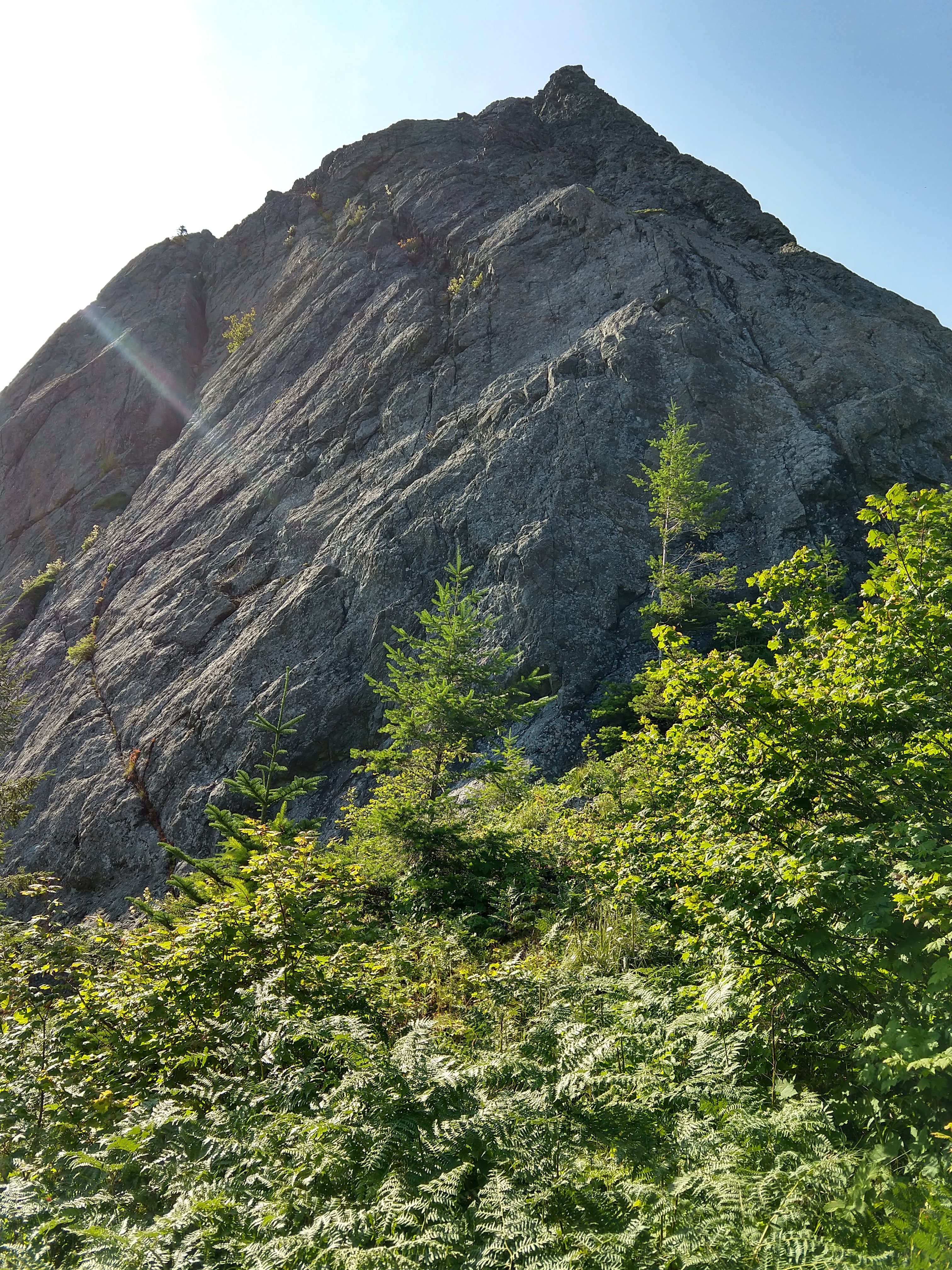
The Mount Teneriffe Trail was quite brutal. Ironically, I actually hate going uphill (but the mountain views and sense of achievement are worth it), and the trail was steeper than I was used to in the Whites. Combined with the fact that I was trying to go faster to make it to Teneriffe and was carrying a heavier pack than usual, I had a fun time trying to convince my legs that this was all going to be worth it in the end. There were several points at which I almost gave up on trying to make it in time, and then at 2pm I realised I had a ways to go. I made it to the connector at 2:30pm.
It’s funny how all throughout the journey your mind is screaming at you to give up and turn around, but as soon as you reach a junction for which it is possible to admit defeat, you just can’t do it. At least, that’s how it was for me. Exhausted and drenched in sweat, my mind still furiously calculated whether it was possible for me to make it to the top of Teneriffe: my turn-around time was 3pm, but could be stretched to 3:30pm. I knew I would be faster on the way down from experience, so as long as I reached the top by 3:30, I was good. I had just completed 2.4 miles in an hour, so a further 2.3 miles in another hour was possibly possible…
White Chocolate Macadamia Cliff Bar in hand, I soldiered on up the Mount Teneriffe Trail vowing that if hadn’t made it at least halfway to the summit by 3pm, I would turn around. However apparently food does make everything better, because when I checked my location at 3pm, I was actually two thirds of the way there!
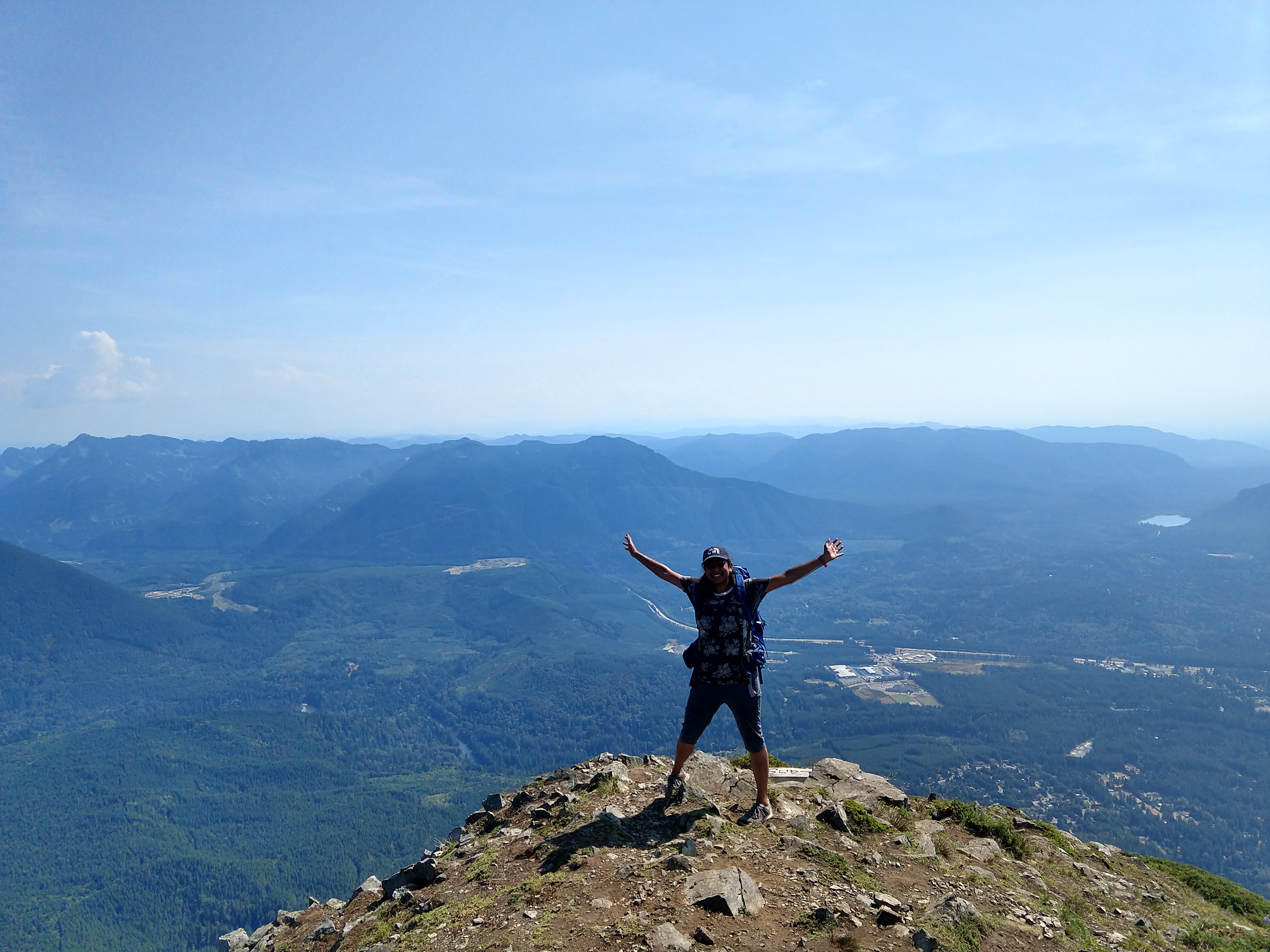
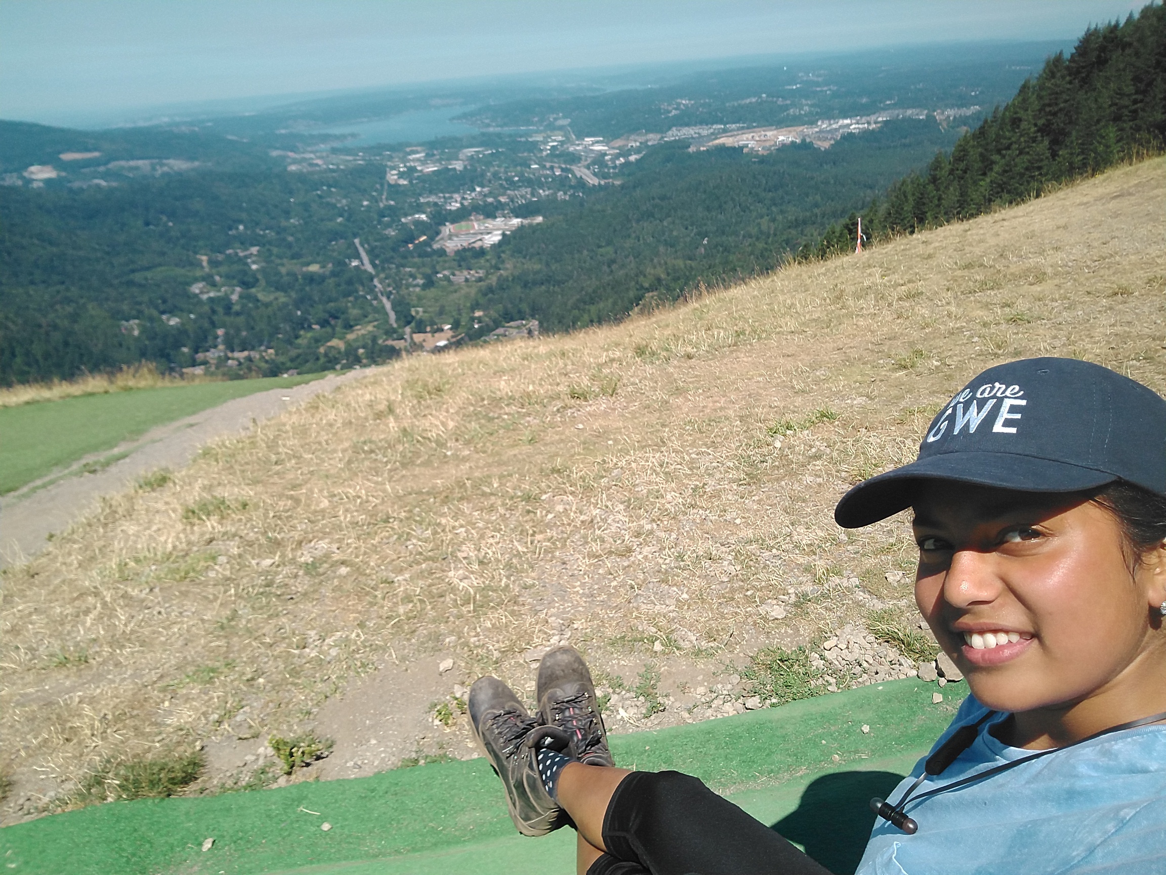
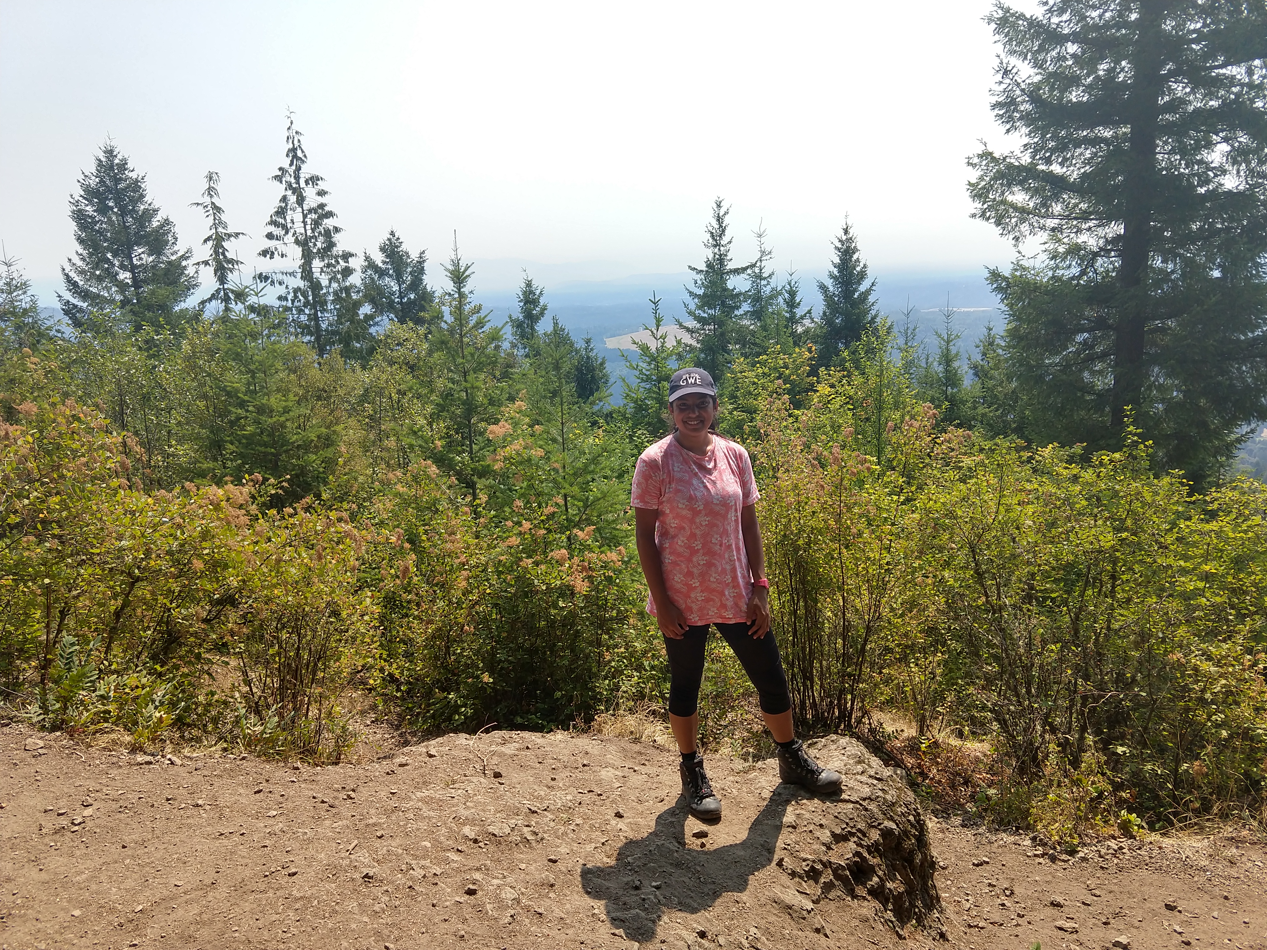
The view from Teneriffe was breath-taking – I don’t know if this is just because of the journey to get there, but I have to say it was the best mountain view I’ve had the pleasure of taking in. I even made a friend at the top – a Chemistry PHD student at the University of Washington. He saved me from having to take yet another selfie, and we managed to jog back down to the connector junction by 4:15pm. At this point I knew I couldn’t live with myself if I didn’t go for the full glory, so we parted ways as I continued onto Mt Si, texting Ivana to let her know I hadn’t died yet. Throughout the rest of the week, since I am such a responsible person, I made her my WIMP so someone would know where to find my final remains if necessary…
The map around the Mt Si summit was slightly misleading. Once I got to the point indicated on the map at the summit, it took me a while to realise there was another meandering path that takes you to the actual summit. If you simply continued walking you would miss it. I got to this point at about 5pm, and so unfortunately had to call it – I continued on the path that skirted the final summit push, since I was worried about missing my bus. I jogged down the rest of the way (I guess I really got a taste of trail running after a couple of MITOC trips…), reaching the trailhead at around 6pm.
Day 2:
I definitely pushed myself a lot on Sunday, and so ended up using Monday to sleep off my aches and jet lag…
Day 3 – Tiger Mountain:
It seemed that Poo Poo Point was the best transit-accessible viewpoint that I was going to be able to achieve during the week, and so that was my goal for Tuesday. I was able to get the Sound Transit Express Bus 554 from Seattle to the Issaquah Alp area, and then walked about an hour to the start of the Chirico trail, arriving at 11am (I know, I got out late again…). Unfortunately Avenza didn’t have a good map for this route, but there was a map at the trailhead that I was able to take a picture of and use throughout the journey!
The hike was a lot shorter than I expected, although still challenging. Luckily I had a trusty houmous and Tofurky bagel to keep me going, reaching Poo Poo point at around noon. I took a nice long break to take in the scenery while formulating my next move – I didn’t actually realise that I could access the whole Tiger Mountain range from this trail, but I didn’t have enough time in a day to venture very far. I settled upon getting to the West Tiger Summit via the West Tiger RR Grade.
Now the problem with hiking alone through trees is that there is no one there to force ahead to be spider fighter. I don’t necessarily have a spider phobia, but I would just prefer not to have to deal with them. That’s all. Unfortunately, the West RR trail did not seem very heavily trafficked from the shrubs on the path, and this meant there were a lot of spider webs enroute. Although I managed to steel myself to simply move them from the path (using a stick) and carry on, the whole journey definitely took twice the amount of time it would for a clear path of the same distance…
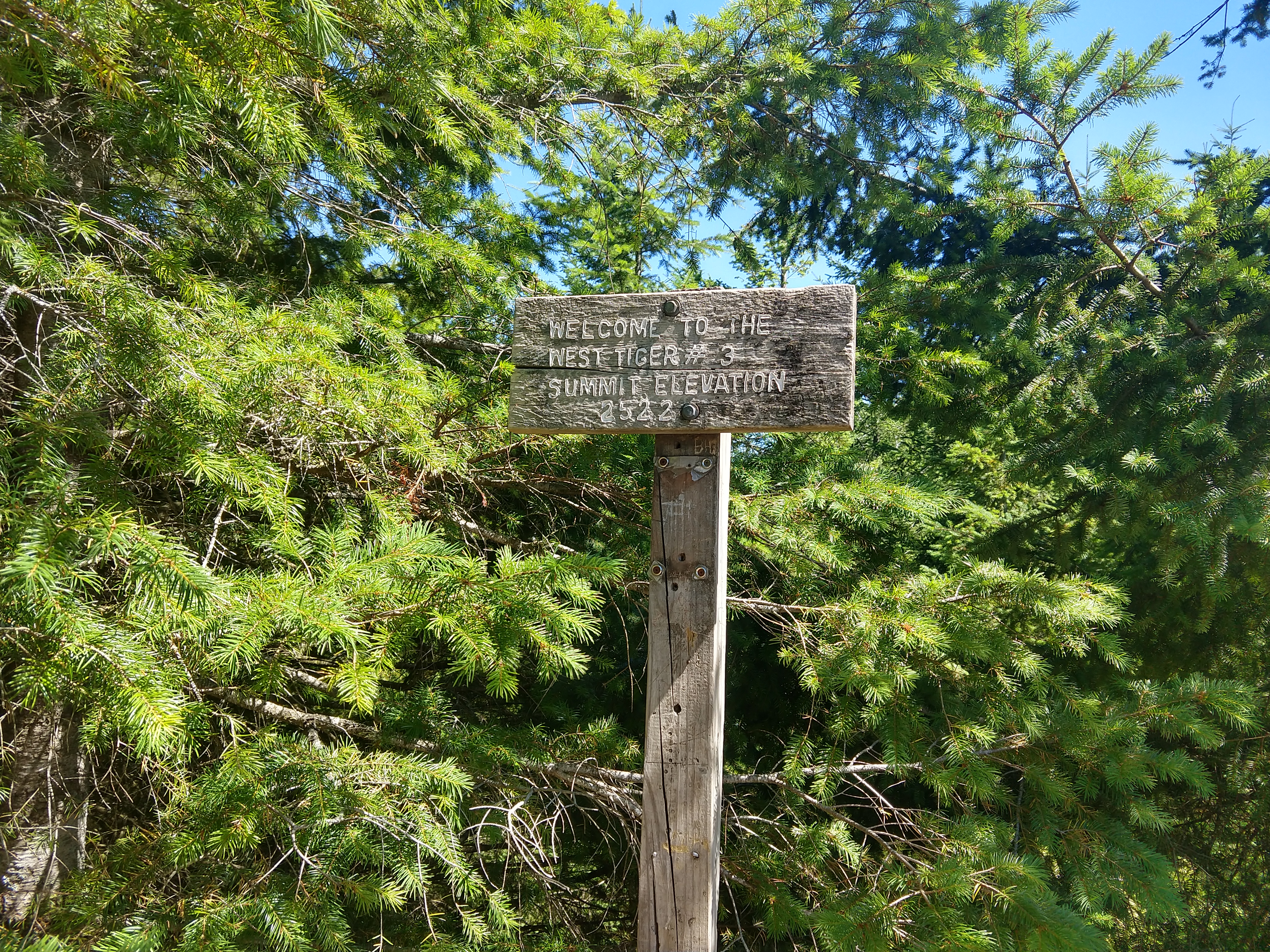
I was aiming to turn at the Seattle View trail junction, but I somehow managed to miss it, and so only managed to go through one of the three viewpoints I had hoped to pass. Still, I found the opening that marked the West Tiger Summit No. 3 at 2pm. I had planned to get down to the High Point Trailhead via the No. 3 trail (decided to walk this time, still in recovery!), but found myself on the Cable Line Trail ending at High Point entrance at around 4pm. After another hour of walking to the trailhead and then through some wetland trails, I made it back to the bus stop for 5pm!
Day 4 – Squak Mountain:
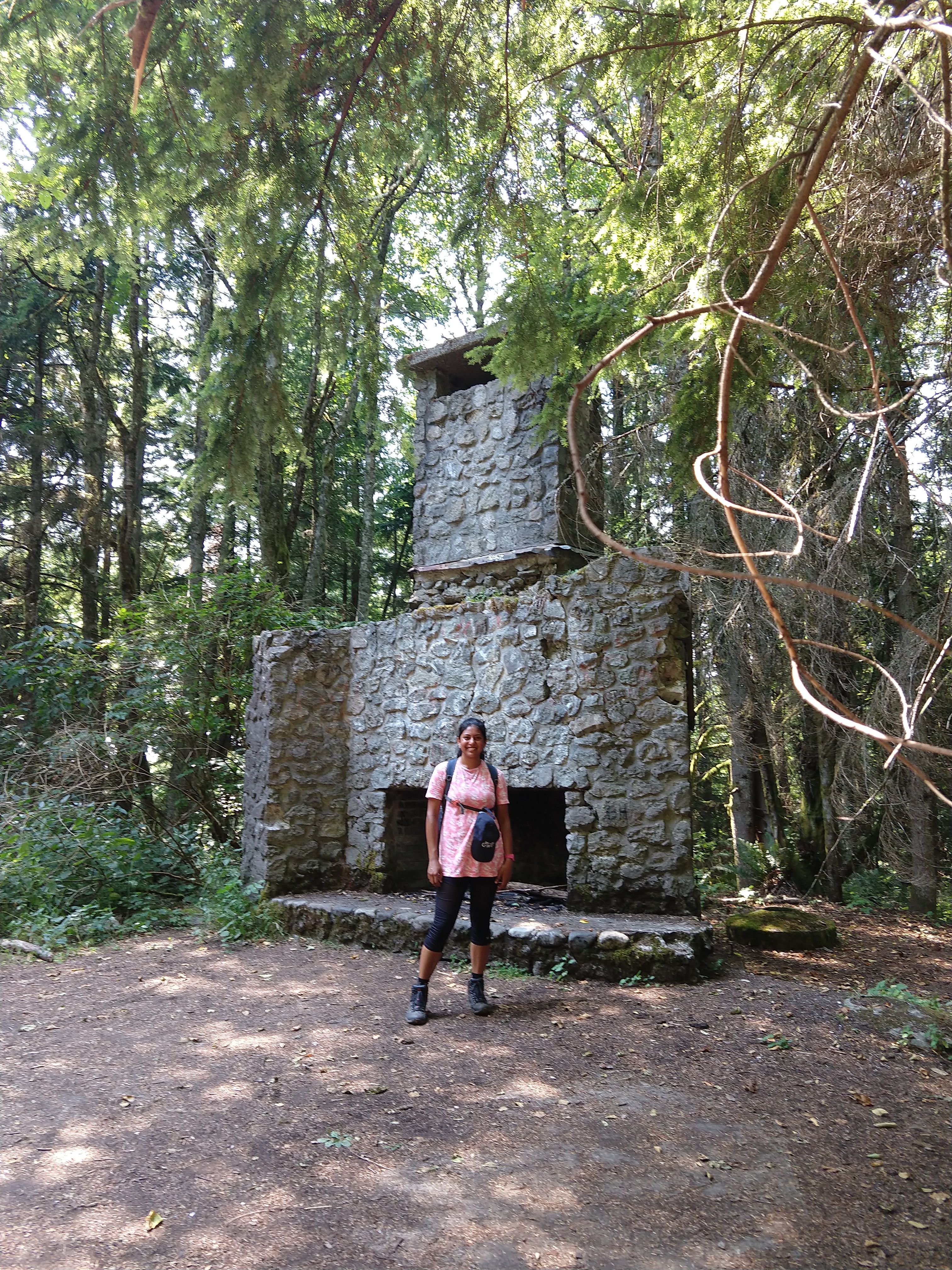
On Wednesday I got back on the Sound Transit Express Bus 554, with the aim of conquering Squak Mountain. Although there was no promise of any good views, I was hoping it would be a good hike and there were lores of an ancient fireplace that you could see: the generous Bullitt family donated the land that the public now enjoys as Squak Mountain, and one of the remnants of their property is the Bullitt Fireplace.
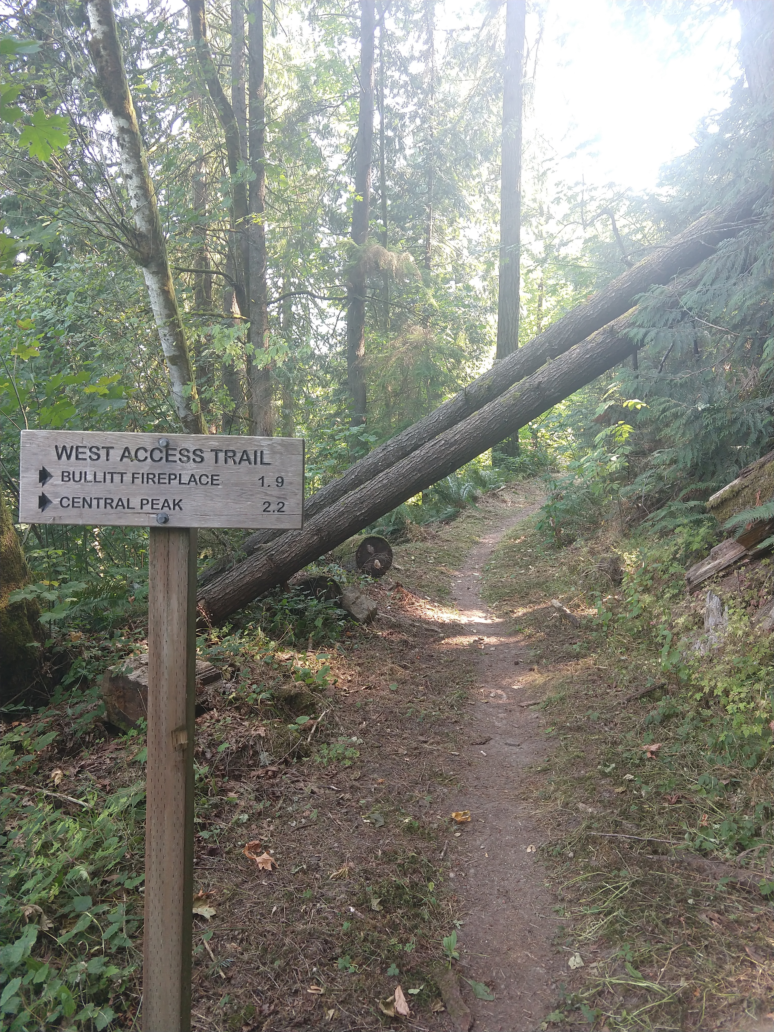
Unfortunately, I didn’t plan my starting point well enough – I started walking down on the highway 900 before realising that I could only access the Bullitt Fireplace trail if I walked back 30 minutes and took a left turn. With time again being my enemy, I decided to continue walking along the 900 and start from the West Access Trail. However, soon the sidewalk started petering out, meaning I had to walk along the side of the highway for about 30 minutes. It was a very stressful experience that I would not recommend, and to be honest I have no idea what the people who designed this trail were thinking! Luckily I made it to the trailhead unscathed, after trying to minimise danger by walking on the side of oncoming traffic, going as far off the road as I could, walking on the outside of bends etc.…
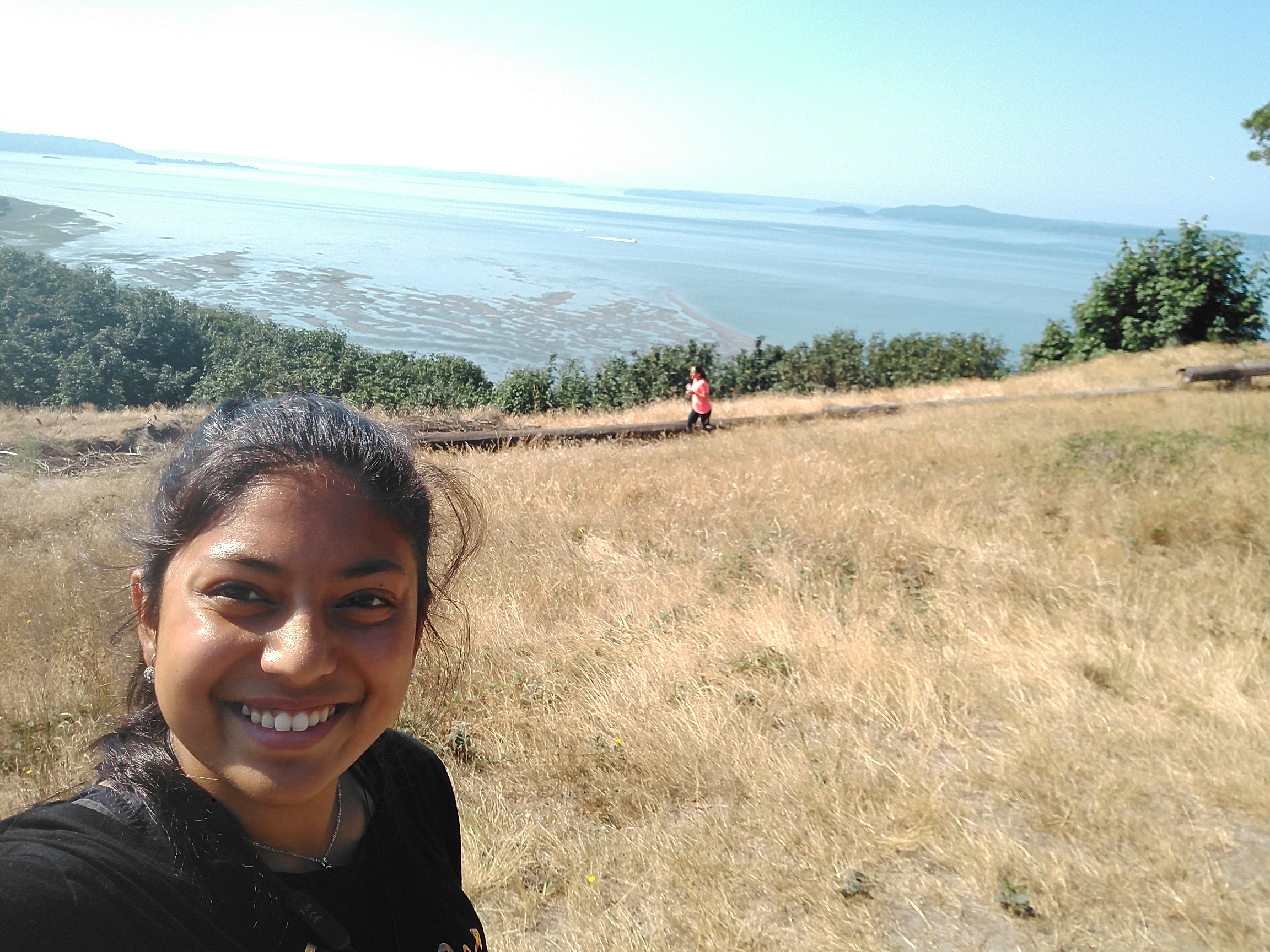
Starting at the trailhead at 11:45am, I decided to try to make the mission of the day to get to “Debbie’s Viewpoint”, (sounded like I’d at least get some sense that I’m was on a mountain…) and hopefully find the fireplace along the way! Again, I had a free Avenza map to use as a reference. Route: Turn left on the West Access Trail onto Chybinski Loop Trail, continue onto Perimeter Loop Trail and tail off on Debbie’s View Trail to get to the outlook! And I did exactly that (although I did make a wrong turn while trying to find Chybinski Loop, which led to some backtracking). I stopped for lunch at Debbie’s Viewpoint at 1:15am, where I found a nice backpacking elderly couple (the gentleman was a mechanical engineer by trade J ), who were nice enough to take my picture.
Since I didn’t actually know where the fireplace was, I hoped that by returning along the Bullitt Gorge Trail and then all the way back up to civilisation via the Bullitt Fireplace Trail I would come across it. At the junction from Bullitt Gorge to the Fireplace Trail, I came across a hand drawn sign that pointed me further towards the summit if I wanted to see the fireplace. I decided to travel along until I reached the Central Peak trail before giving up, and although I became concerned I had missed it as I walked further and further, I eventually found it! Now that I think about it, I’ve been super lucky in my adventures since there was yet another kind elderly man, who interrupted his basking in the midday sun with an book and apple, to take my picture here!
Day 5 – Discovery Park
Thursday was my last day in Seattle since I was leaving on Friday morning, so I decided to take it easy. However, I did have one more outdoor adventure to tick off – Discovery Park. When I googled Seattle hiking, this was one of the first things that came up, so I thought it was worth checking out. However, I underestimated the time taken to travel there, so I only got to spend an hour exploring. Still, I managed to do the loop trail, getting close to the beach. Compared to the other hikes I had done that week it wasn’t very exciting…
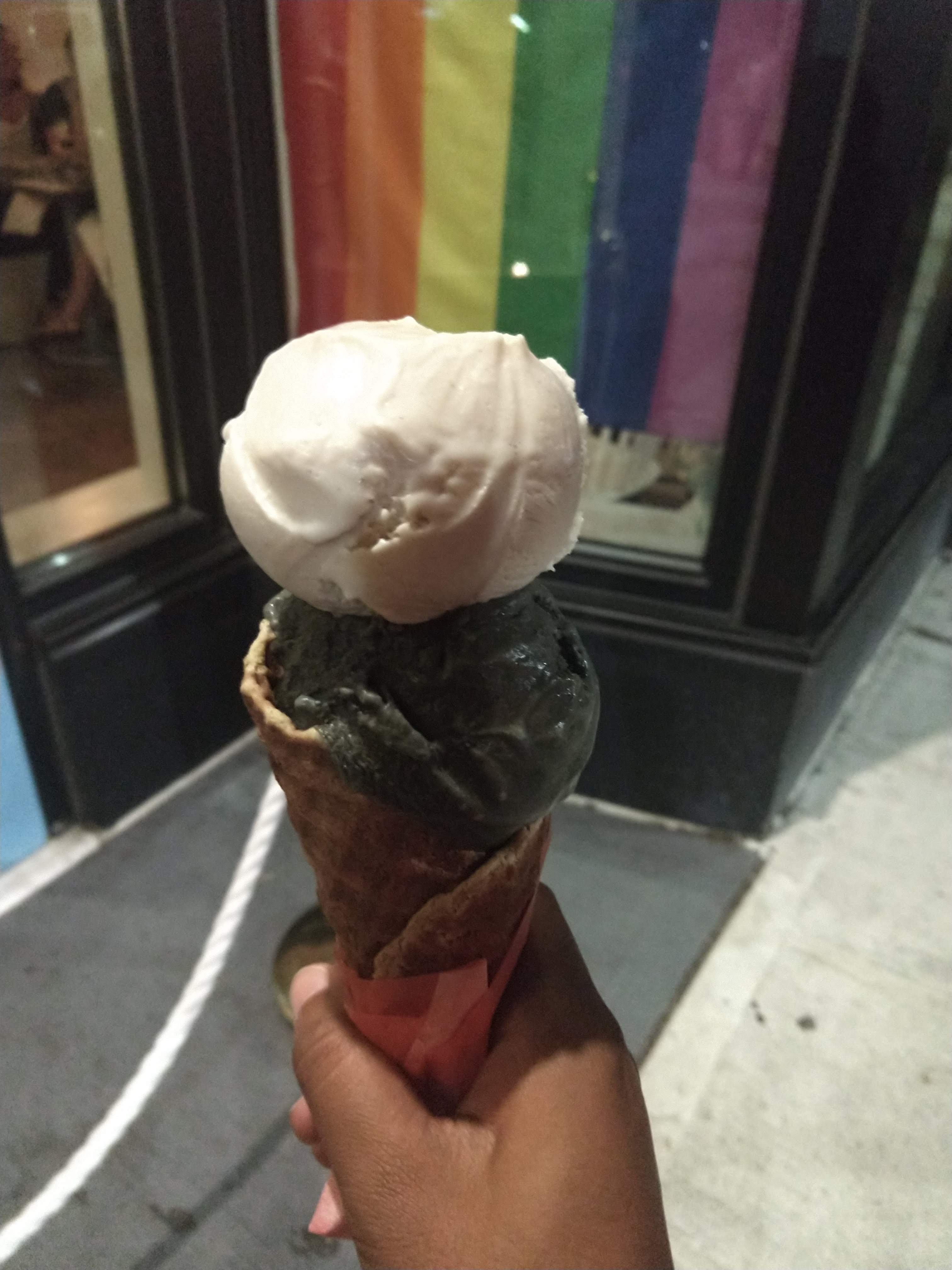
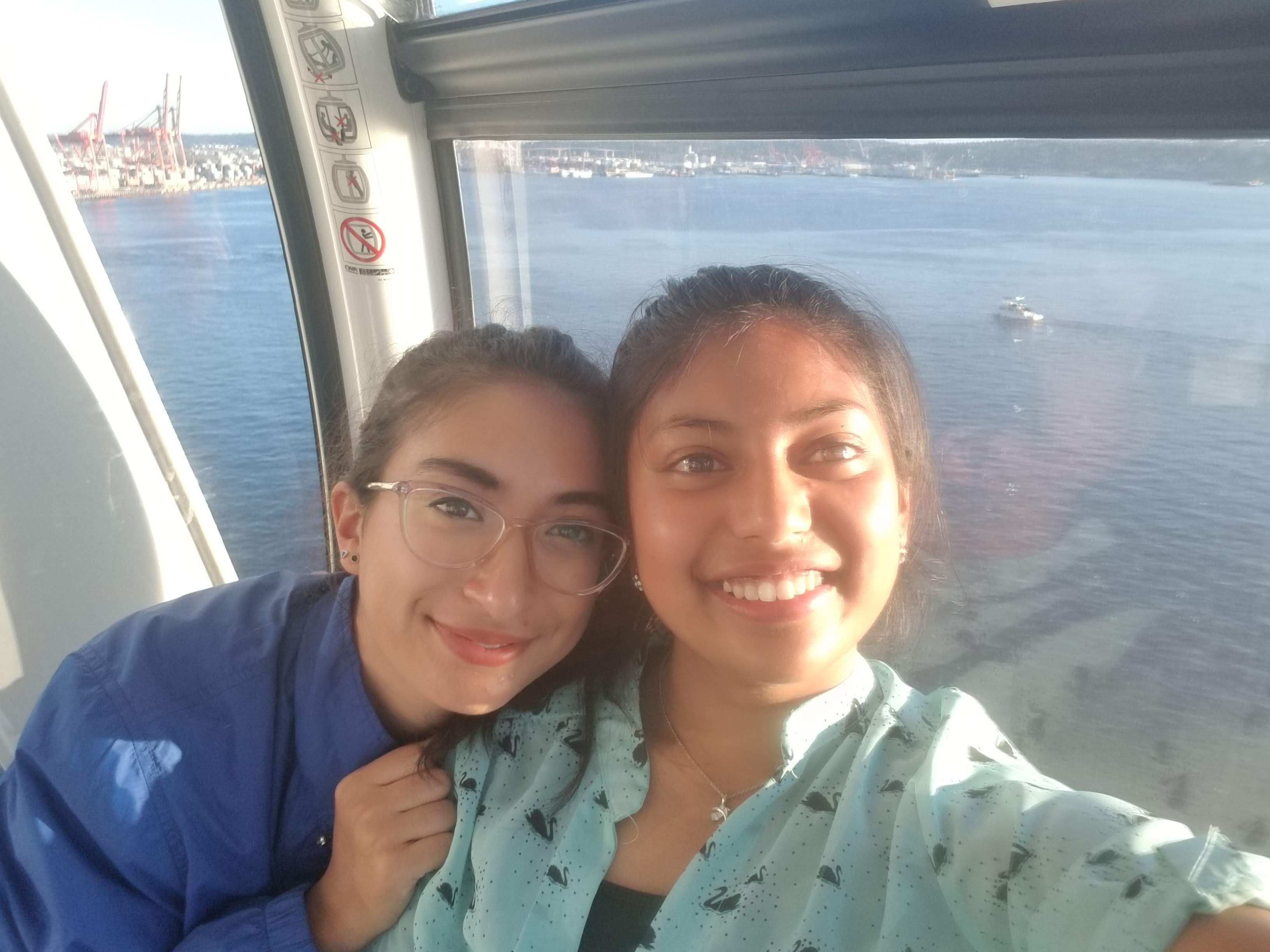
I spent the rest of the day visiting Ivana’s internship office, taking a ferry ride and tasting Frankie & Jo’s famous plant-based ice cream!
Once again, I’m extremely grateful to the Sean Collier Memorial Fund for allowing me to have this amazing experience – all in all it was a fun time, but it was also my first time going on solo hiking trips, and it has definitely improved my confidence in planning outdoor adventures. I was able to test my limits (even more so since I was slightly sick and congested the entire week!) and managed to encourage my roommate to test hers. I can’t wait to plan my next adventure, and lead future MITOC trips!